Trail Maps
GPS waypoints we made of our six stops are in Geographic/WGS84 format.
By downloading this GPS data and maps, you agree to the following:
D. A. Parent and www.truckcamper-travels.ca provides these geographic
data "as is." D. A. Parent and www.truckcamper-travels.ca makes no
guarantee or warranty concerning the accuracy of information contained
in the geographic data. D. A. Parent and www.truckcamper-travels.ca
further makes no warranties, either expressed or implied as to any
other matter whatsoever, including, without limitation, the condition
of the product, or its fitness for any particular purpose. The burden
for determining fitness for use lies entirely with the user.
To download the waypoints of our stops on Trail of The Ancients, GPX format:
Monument Valley Facilities
Valley of The Gods entrances & exits
Natural Bridges parking
Edge of The Cedars parking
Sand Canyon Pueblo ruins parking
Anasazi Heritage Center parking
All Waypoints
Downloadable Trail of The Ancients maps we made and used:
1) General overview of the Trail of The Ancients road network (ZIPped PDF
2) Bluff, Blanding, Hovenweep, and Canyon of The Ancients areas (ZIPped PDF)
3) NEW! Valley of The Gods: 2 part drive (ZIPped PDF)
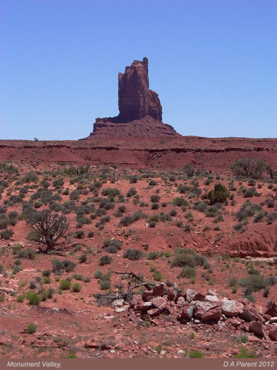
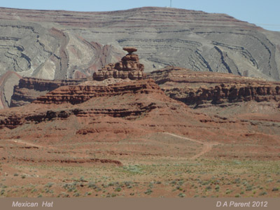
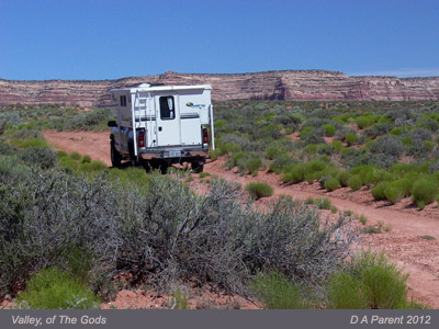
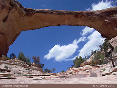
Here are a few photos we made at stops along Trail of The Ancients: