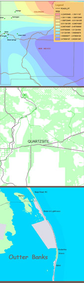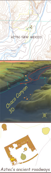
Our philosophy of travel and discovery is: to gather and sort every piece of geographical data possible, within reason, and create detailed maps of our intended destination in order to fully understand the regions human history, geological/geographical context and climatological influences over time. We use some sophisticated geographical information systems (GIS) software tools to digest raw map data, like terrain models obtained from the SRTM Space Shuttle missions, or existing ruin site locales as point locations and crunch the data into a meaningful 3D terrain maps replete with geographically correct ruins locations, as you will discover later in our website.
Some travelers would argue that doing this removes the spontaneity and wonder of first arrival at a destination; however we argue that understanding every environmental influence over time on our intended destination prepares us to look even deeper into, for example, the territory's prehistoric inhabitants, the residual rock art they may have left behind and clues into potential locales where more cultural artifacts may yet lay to be discovered. This method of approach I had employed quite successfully in Central America, it leading to some spectacular discoveries of ancient remains of civilizations that were not previously cataloged. Silverdunes employs the same strategy to her field research into disease and it,s spread across the landscape over time.
To recap, understanding our region of planned travel in great detail in advance does not detract from our initial encounter with it,s landscape, it heightens it. This philosophy is one that we subscribe to, however your mileage may vary.